Aerial and Ground Photography and Video
Enhanced Property Visualization
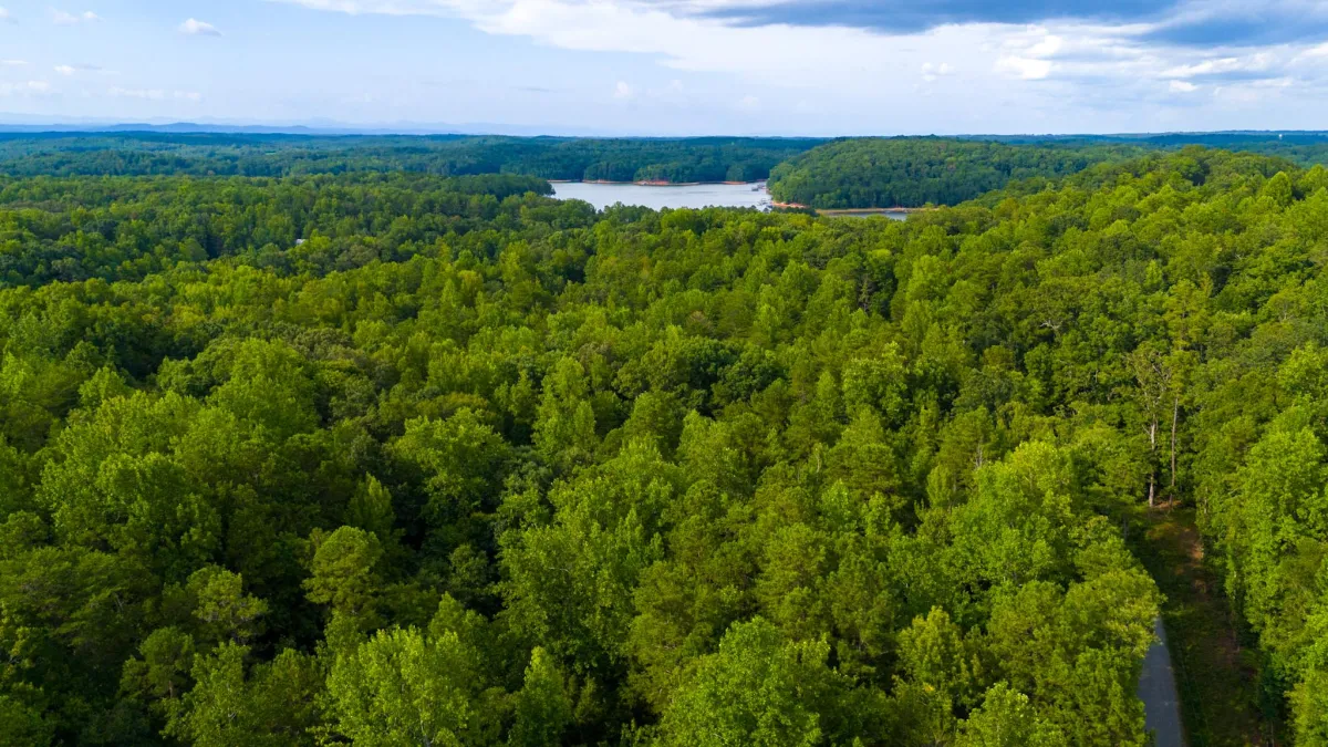
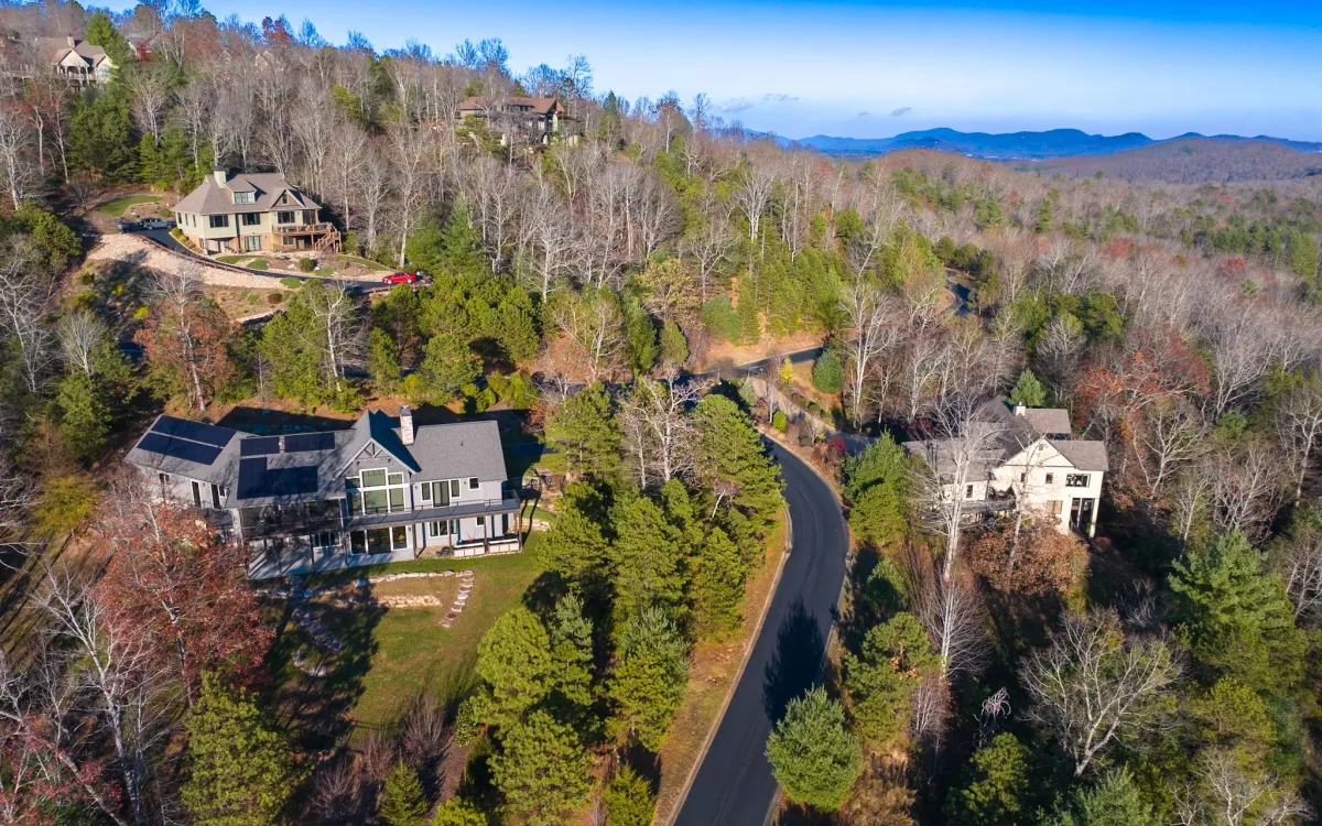
Aerial photos and videos provide a comprehensive, bird’s-eye view of vacant or commercial properties, offering potential buyers and investors a unique perspective that ground-level imagery alone cannot achieve.
Highlighting Key Features and Surroundings
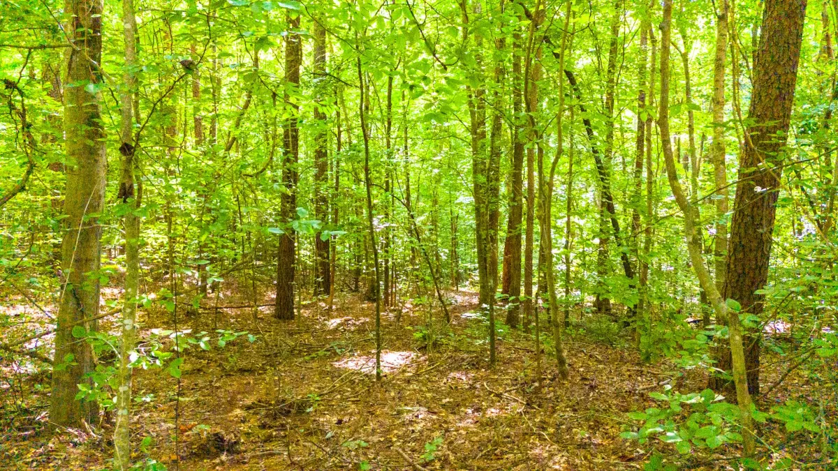
For vacant properties, drone footage can emphasize natural features like lakes, trees, and topography. By offering a clear and complete view of these surroundings, aerial visuals make the property’s location and potential more compelling, setting it apart in a competitive market.
Efficient Marketing and Broader Reach
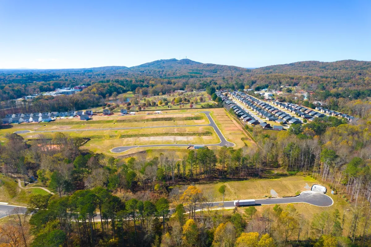
Aerial imagery is invaluable for highlighting critical features that add value to a property, such as nearby infrastructure, road access, zoning layouts, and proximity to key amenities.
High-quality aerial photos and videos serve as powerful marketing tools that attract a broader audience of potential buyers.
Showcasing Development Potential
For both vacant and commercial properties, aerial footage is essential for illustrating development opportunities. By capturing the property’s layout and surroundings, buyers can better envision potential construction projects, expansions, or uses of the space. Overlaying zoning maps, boundary lines, or conceptual designs onto aerial images further enhances this visualization, offering a clear path for future development. This approach not only highlights the property’s potential but also positions it as a valuable and strategic investment for prospective buyers.

Facebook
Instagram
TikTok