Call now to book! 864-280-9554
Your Go To Aerial Drone Photography Experts
Elevate Your Perspective
Our Aerial Services
Elevating Your Perspective
Construction Monitoring
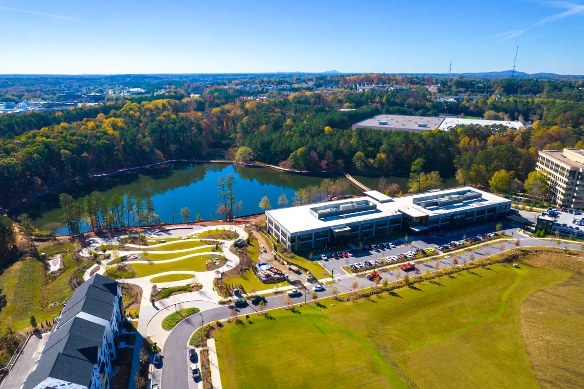
Drones can capture high-resolution images of construction sites from various angles and heights, providing detailed aerial views. These photos help in surveying the site more efficiently and tracking progress over time, allowing for better project management and decision-making.
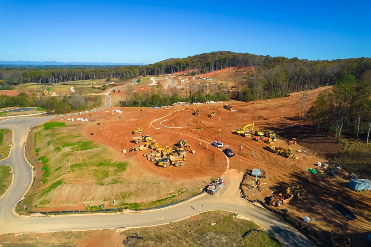
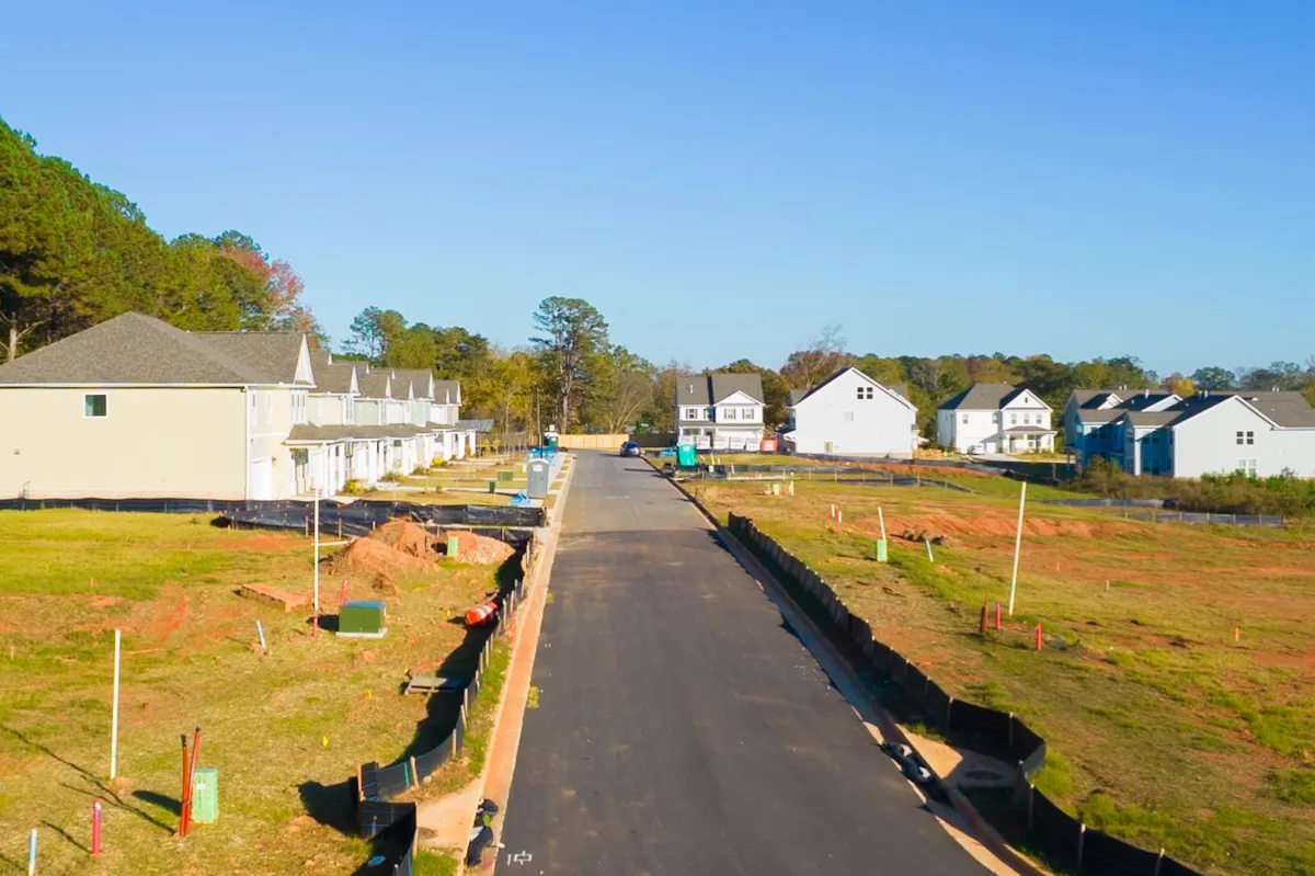

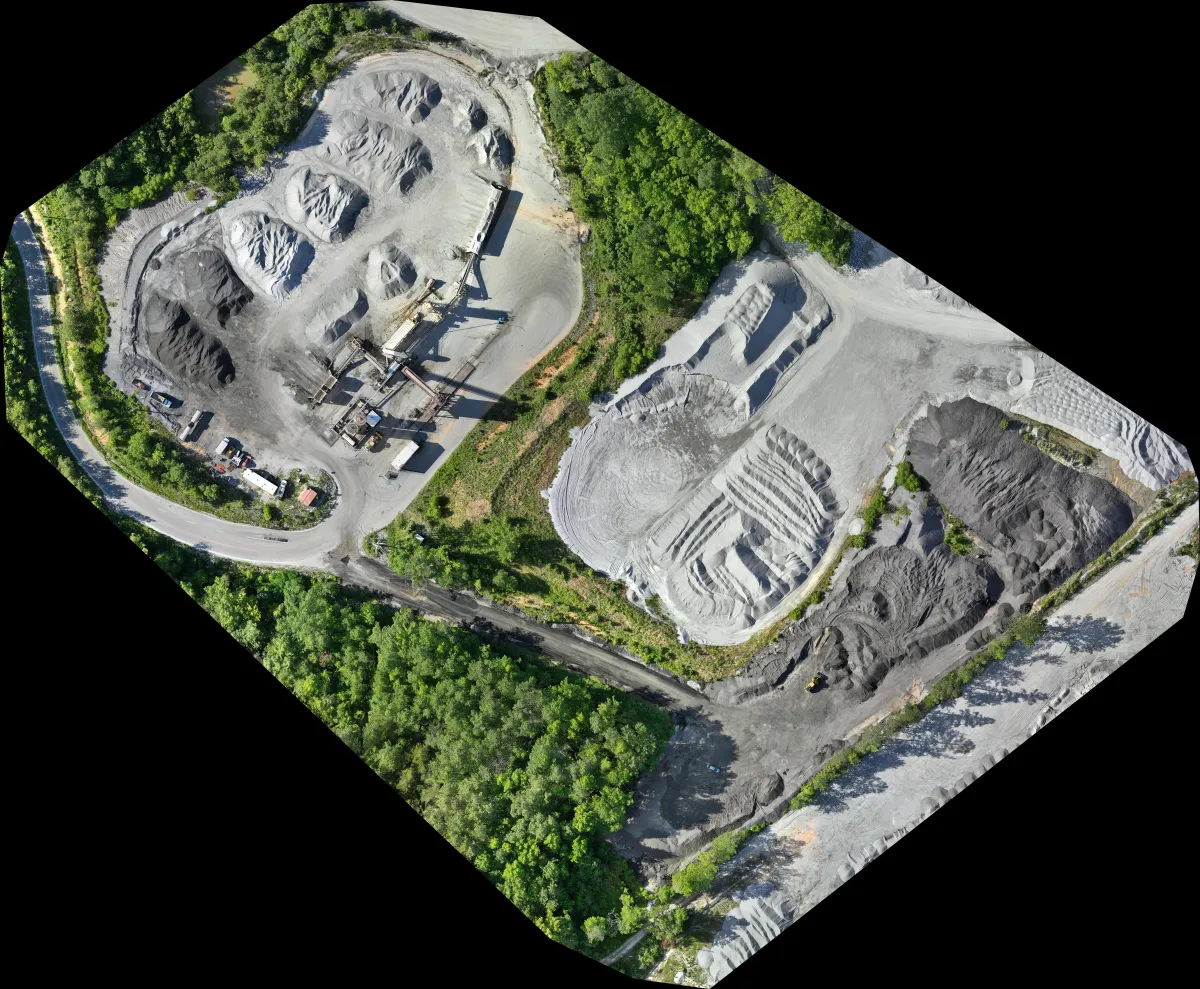
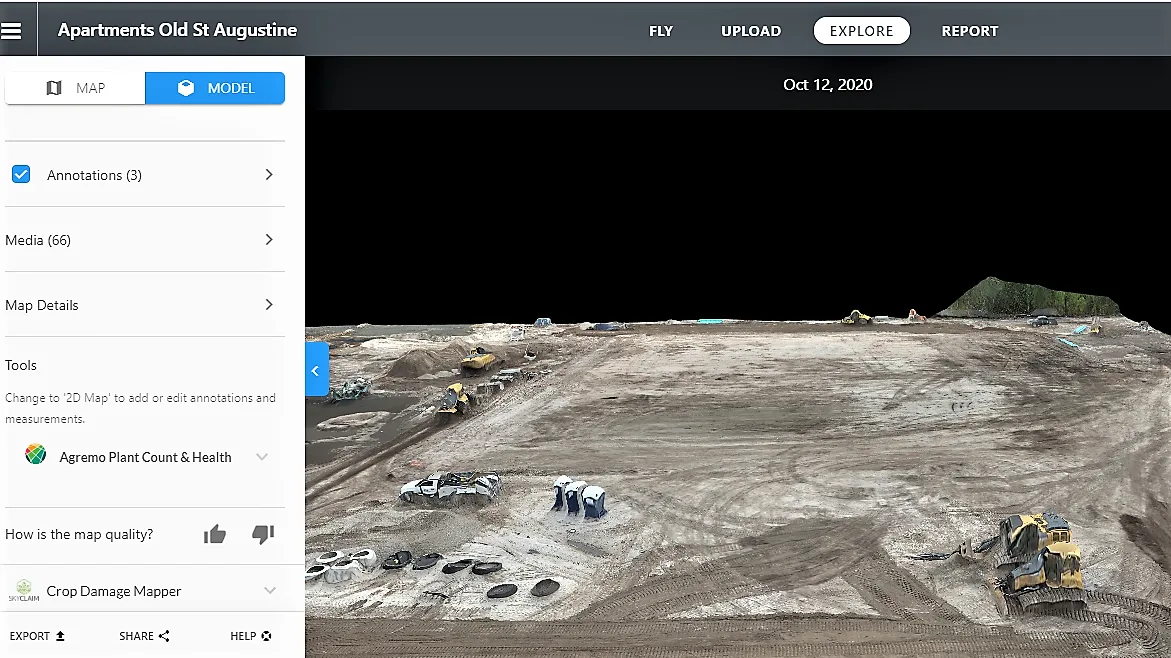
Drone 2D Orthomosaic imagery provides construction companies with high-resolution, georeferenced maps of construction sites. These maps offer detailed, accurate representations of the site's layout, topography, and features, allowing project managers to make informed decisions about site planning, design, and construction methodologies.

Aerial Videography
Drone videos offer dynamic, bird's-eye views of construction sites, providing a comprehensive visual record of the project's progress. Unlike static images, videos capture the site's evolution over time, allowing construction companies to document every stage of the construction process accurately. This documentation is invaluable for project monitoring, dispute resolution, and regulatory compliance.

Aerial and Ground Photography
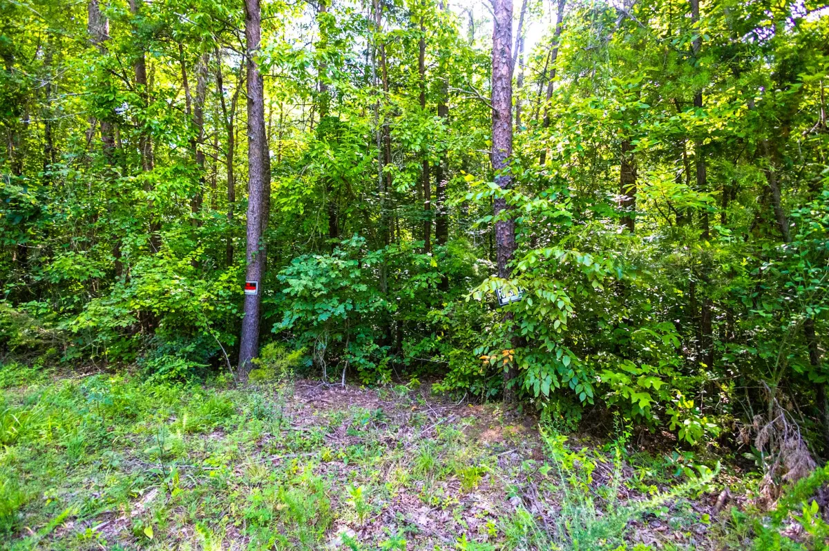
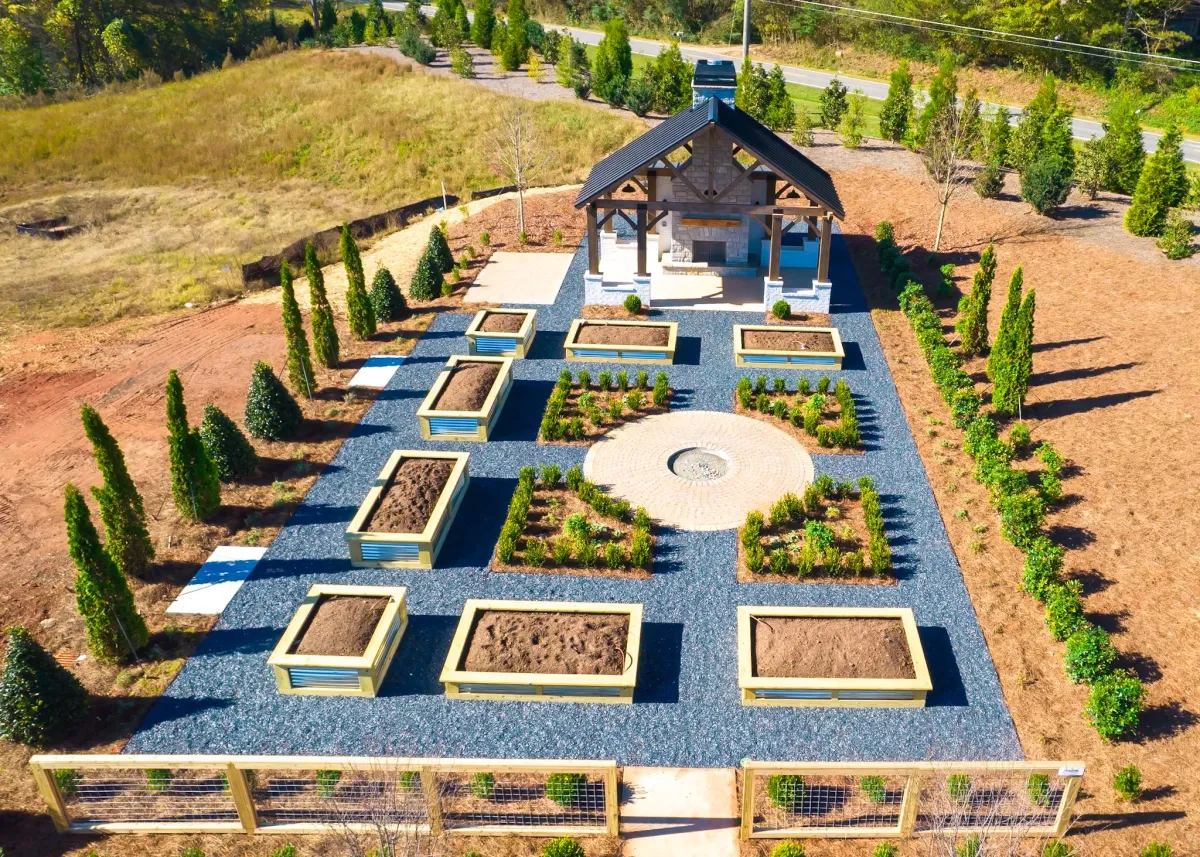
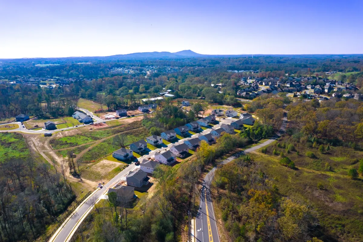
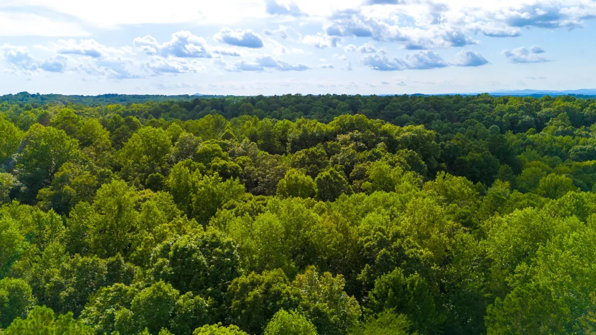
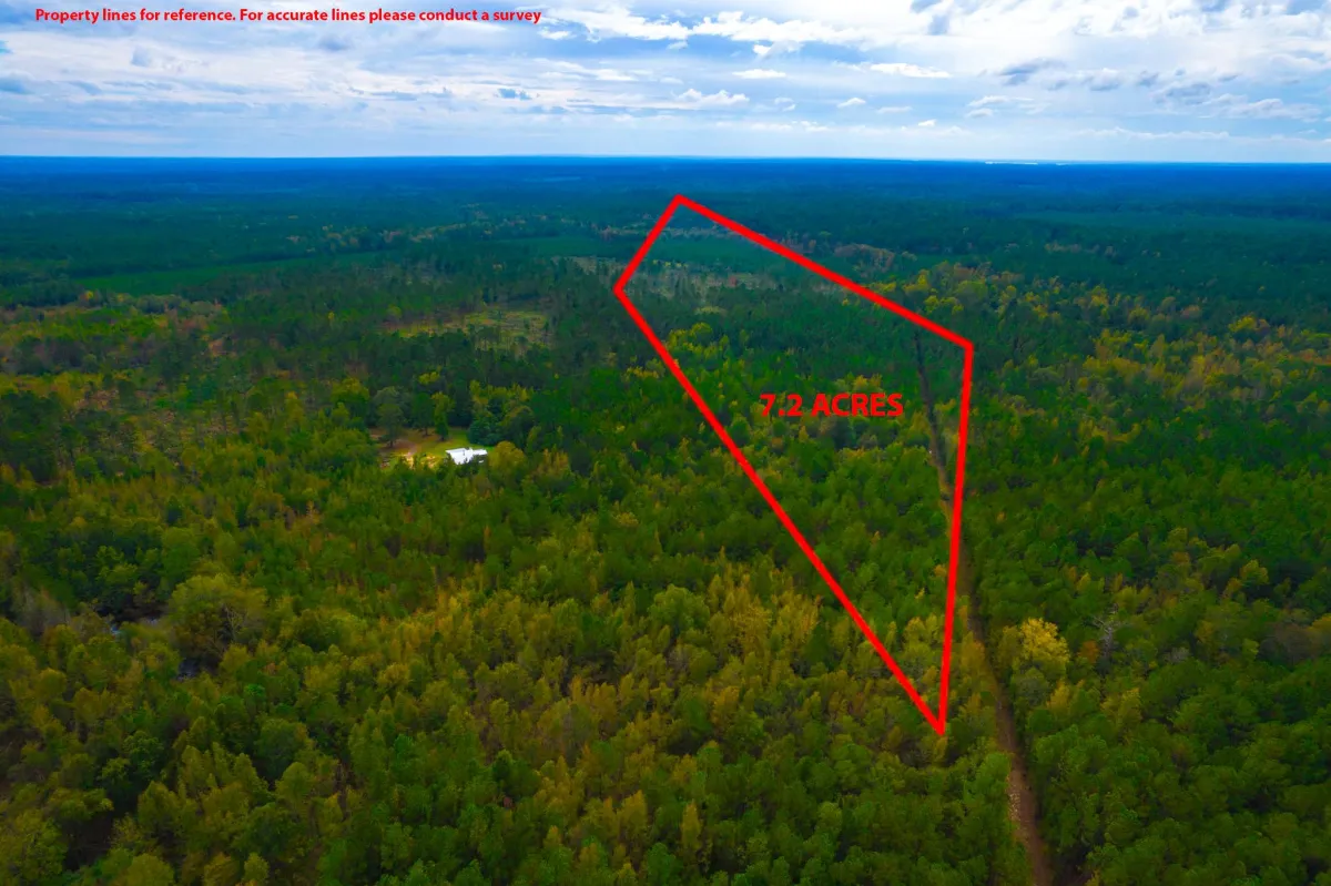
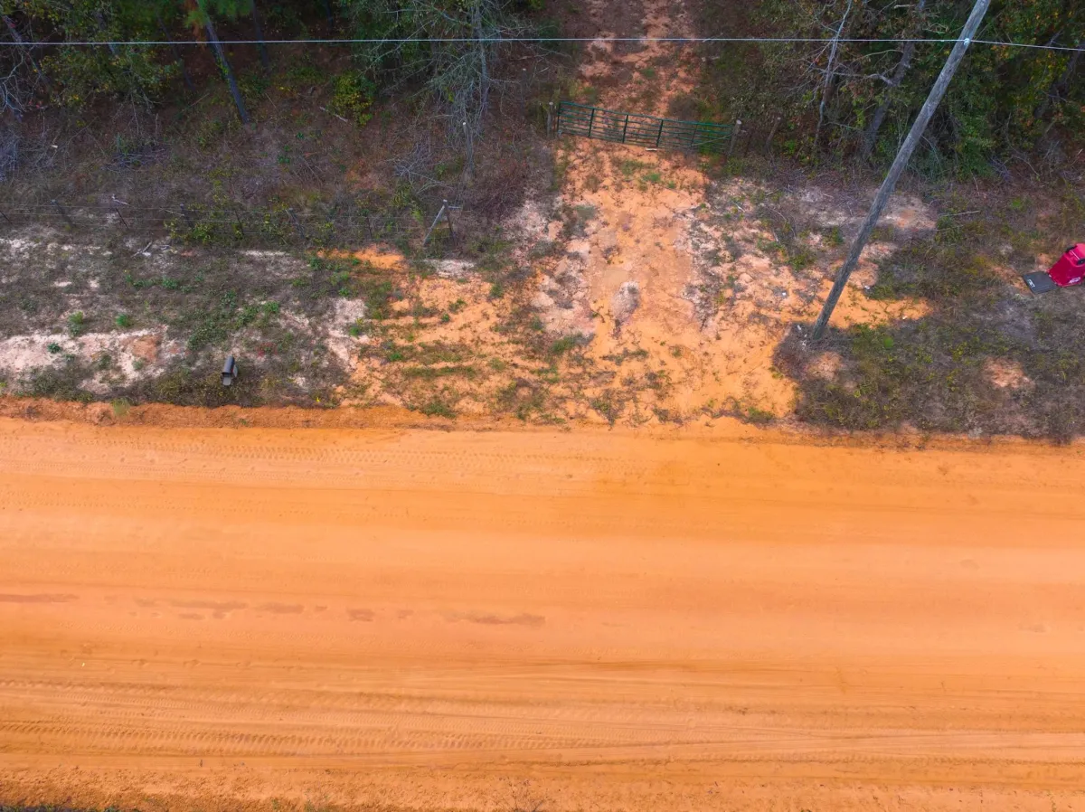
Drone photography captures captivating aerial views of properties, showcasing them in their entirety and highlighting unique features such as surrounding landscapes, neighborhood amenities, and architectural details. Whether your listing is a commercial property or vacant land these stunning visuals enhance property listings, attracting potential buyers and increasing engagement on real estate platforms.
Facebook
Instagram
TikTok